 I don’t usually set out on a hike later than noon, but on a recent Saturday I had several hours with no plans, and I was itching to get out in the beautiful hills. This hike is perfect and the light was gorgeous as the sun started its descent.
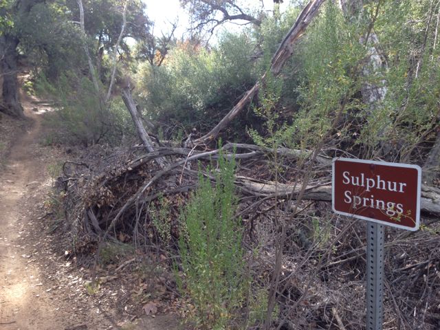
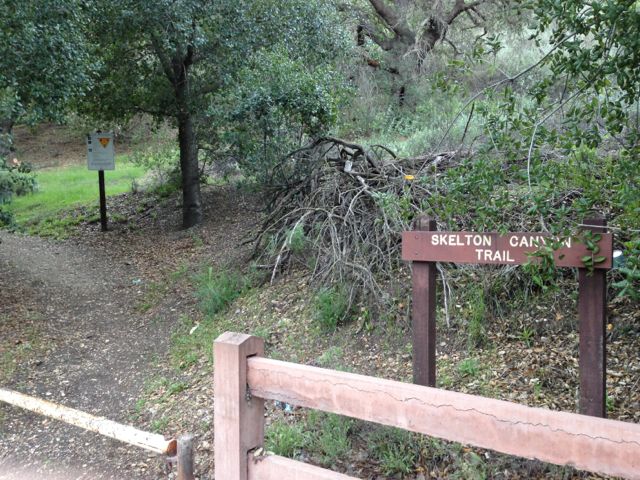
The Skelton Canyon trailhead is at the north end of Lakeview Canyon but before the gate that protects the beautiful houses in the hills. You can park on the street right near the sign. There is another trailhead on Westlake Boulevard but there is no convenient parking – you have to park across WL Blvd. on Santiago street.

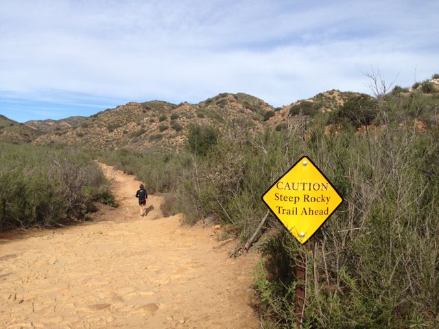
Because these hills are surrounded by houses on one side, Westlake High School to the south, and Westlake Boulevard to the west, there’s a lot of civilization noise and even music from the marching band if you go up there at the right time, so it isn’t a perfect spot to get away from it all. More like getting above it all. Since the hills are green and the poppies are blooming, there’s enough beauty to distract you.
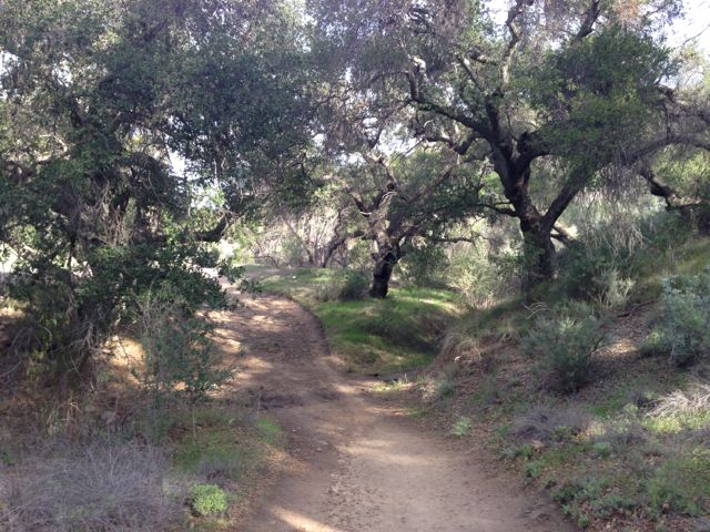
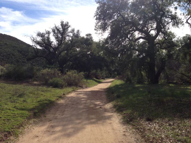
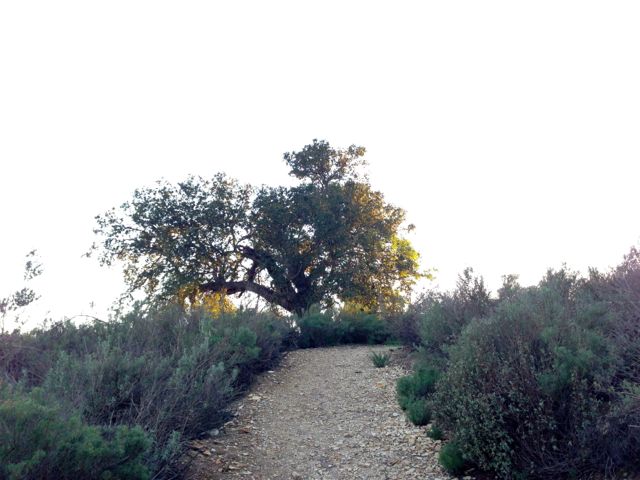
The trail starts out as a steep switchback-ey climb to the top where you are greeting by majestic oak trees and a mostly level wide path.
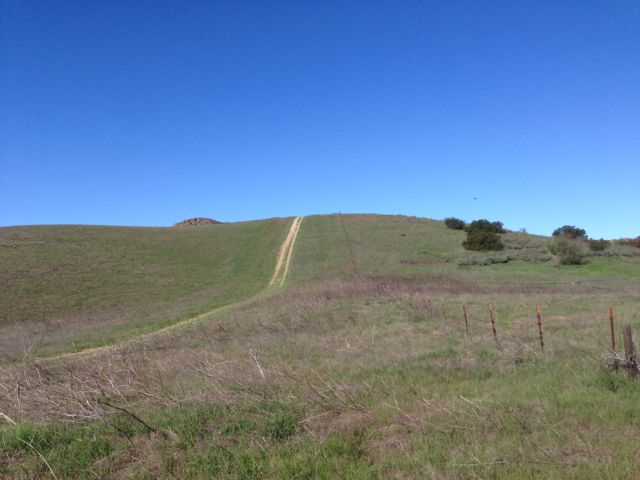
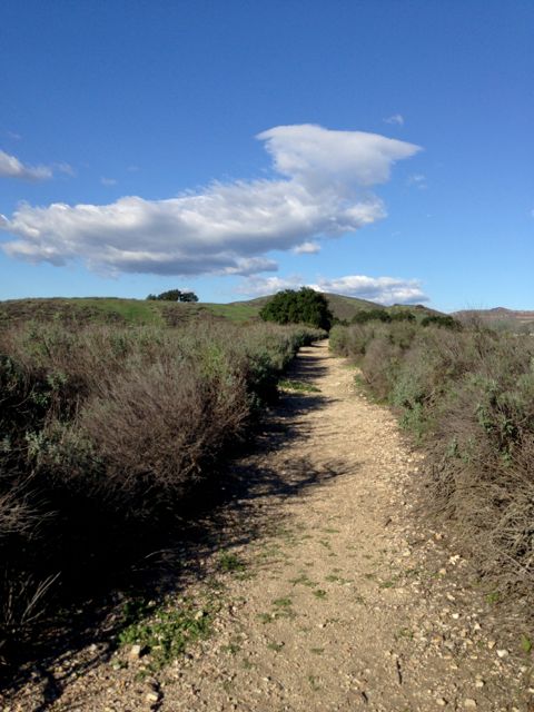
 Almost to the top! (The first top.)
The larger trail turns to the west and down the hill to the Westlake Boulevard trailhead.
 Don’t go that way. Go the other way (to the right).
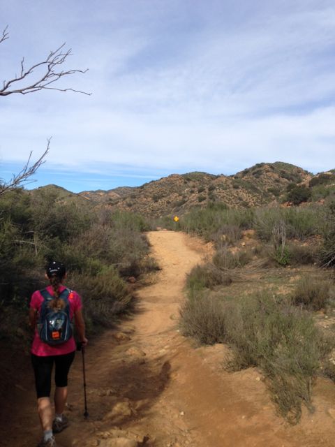
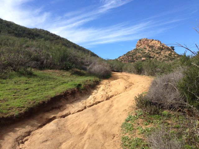
To continue up the hillside, you have to go mostly by feel at this time of year, because the trail itself is covered by mustard plant. With a satellite Google map it’s easy to orient yourself and push onward. If you continue along the wash, you’re going in the right direction.
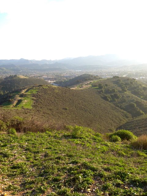
 View from not quite the tippity top. The depression the left is the “wash” I referenced above but I’m not sure if that’s what this formation is actually called.
The trail continues to the highest point in the hills…
 ..where someone has left a cairn for you. I added that little top rock.
 This is the top.
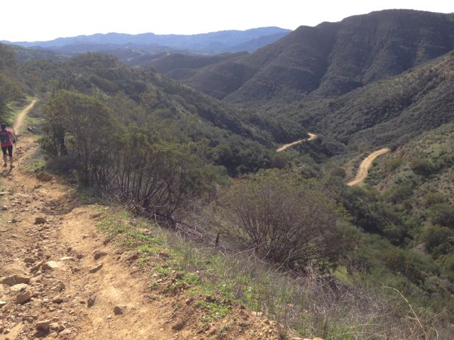
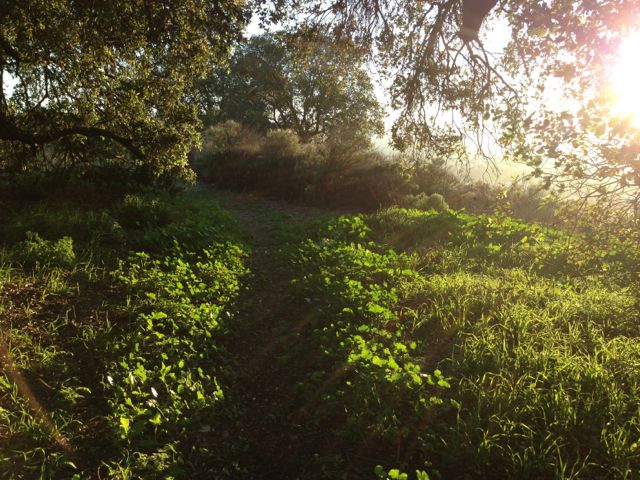
…and then descends over the top, where the terrain changes and more growth makes for even more beautiful hiking. It’s fun to look over the mansions in the canyon to the east and wonder who lives there and what it must be like to have this view.
You have to turn around and hike back out the way you came because the trail ends behind some more incredible houses. It’s about a mile and a half to this point, so a full 3 miles to hike in and back. Some of the terrain is pretty steep, so you’ll get a workout, plus you get to see all of this.
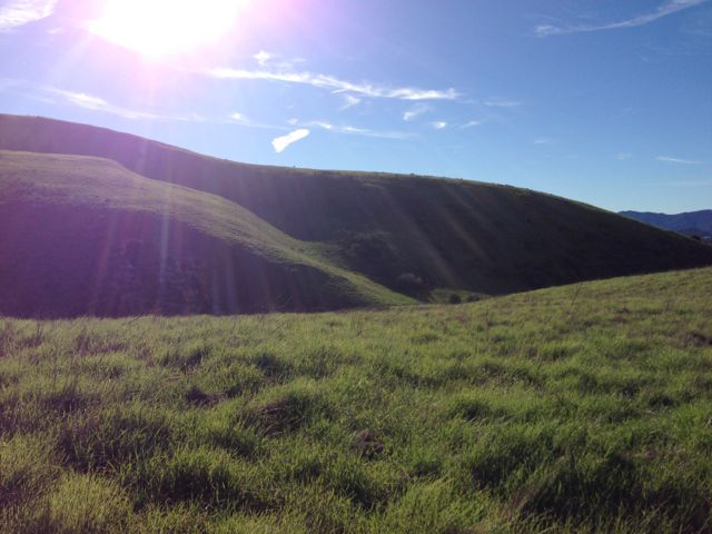
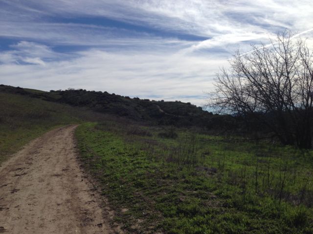
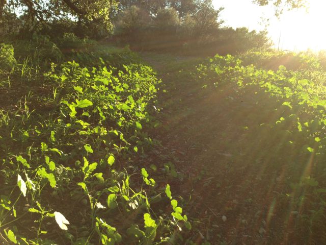 Going back down the way I came. The reward was this glorious late afternoon light.